All predictions pointed to this being a dark and stormy day and people were concerned with what to wear. In the end, our luck as a walking group held true, plus the fact that the weather is always better on the Eastern shore!
The day was actually a good one for walking, not too hot/cold and mild winds. This gave Carol the chance to lead us on an interesting walk while surrounded on all sides by black clouds in the distance. The top of Mt. Wellington wasn't seen all day, and you could see rain over several areas on the Western shore.
Carol parked us at a small park so that we didn't have to walk up hill to the cars when we finished. As this is mostly private property, Carol made arrangements for the gate to be unlocked at the start.
The initial part of the walk is along a dirt road which leads past a couple of high points, one having the Aussie flag on top (of what, I don't know) and the other leading to a satellite dish, which is in the process of being removed. It appeared to be some electricians working there disconnecting everything. We continued around the dish and found a place to have morning tea before backtracking slightly to cross over a fence and continue across downhill across country.
Several locals took notice of our passing, one a fairly beefy chap with his girlfriends that made me regret wearing a bright red shirt. We picked up another road for a short distance before moving down to the coast line, walking through tussock grass and frightening a number of wallaby who took off too fast to get a photo.
We eventually reached a small rocky beach and found a life ring in good shape (plastic) complete with light but no vessel name. We walked along the beach before returning to the tussocks again until we reached a small but beautifully marked sandy beach. known as Chinamans Bay, where we had lunch.
After lunch we walked along the beach and then climbed out and followed faint tracks through the tussocks. We came to Trywork Point and found some ruins that may or may not have dated from that time.
When Tasmania was settled, the Derwent River was home to large numbers of Whales. Back in 1804 they decided to turn this into an industry and a trywork (furnace for rendering whale blubber into oil) was set up on Droughty Point, which at the time was covered with trees and so provided fuel. The last whale was seen in the Derwent in 1856, and that lasted until 1952.
The little beach they used to land the whales on became Chinamans Bay in 1850. The Lady Montagu sailed from Canton for Lima with 400 Chinese coolies aboard. Soon after sailing an epidemic of fever struck and the Captain sailed south for better breezes, ending up off southern Tasmania with over 200 dead.
Captain Smith sought help in Hobart who promptly quarantined the vessel at it's anchoring point off Droughty Point, set up shore patrols to prevent anyone from leaving the ship. Several bodies washed ashore, and fish from the Derwent could not be sold or even given away. - Thanks to David Leaman's book 'Walk into History in Southern Tasmania' for that information.
We continued along the shore before returning to the cars just before the rain began.
A very good walk. I've included a map below which has both today's walk in blue and last year's in red so you an see the differences.
 |
| Bob & Carol plotting walk |
 |
| Looking back at start |
 |
| First high point with Flag |
 |
| Initial dirt road |
|
|
 |
| Dish in distance |
 |
| Sattelite Dish, photo op didn't quite make it. |
 |
| You need to jump higher. |
 |
| Morning tea |
 |
| Sometimes you have to go to extremes for good mobile phone reception |
 |
| Looking South |
 |
| Mt. Wellington in cloud |
 |
| Looking North |
 |
| Looking South |
 |
| Looking towards South Arm & Betsey Island |
 |
| Interested locals |
 |
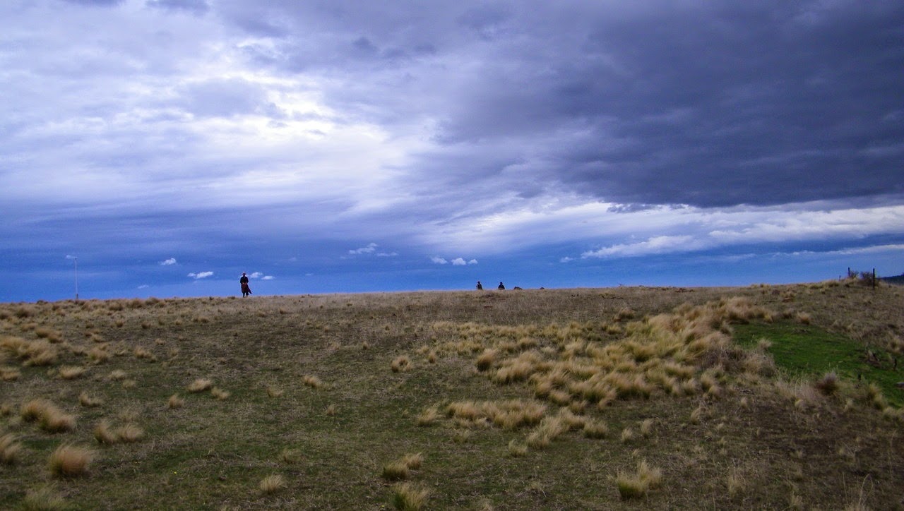
| Adventure in the distance - Exercise, I think |
 |
| Stony beach |
 |
| Artistic shot |
 |
| Coming out of the distance |
 |
| Gloom |
 |
| Looking across at Hobart |
 |
| To paraphrase Monty Python, this is an ex-cow |
 |
| Ruin |
 |
| Maybe a well? Not sure how old, but lots of bricks around. |
 |
| Stony beach south |
 |
| Stony beach north |
 |
| Convenient seat for lunch over Chinamans Beach |
 |
| Addie prefers to dine alone |
 |
| Walking along beach |
 |
| Tussock walking |
 |
| I noticed some things moving around my feet while walking, and lots of these crickets were scrambling into their holes. |
 |
| Todays walk |
 |
| 2012 walk in red over todays walk in blue |
We had 7 walkers and walked 7.8km in 3:18 hours
Click here to download GPX file


