Today we're walking up the Snug River Track from the beach, then around Electronia (Peggys Beach) and back to the cars. Bob is our leader.
It's a fantastic day as we walk to the south end of Snug Beach then back along the beach to the start of the track. The tide's out so the first part of the river is unattractive mud flats, which I didn't bother to photograph.
 |
| Meeting near the caravan park |
 |
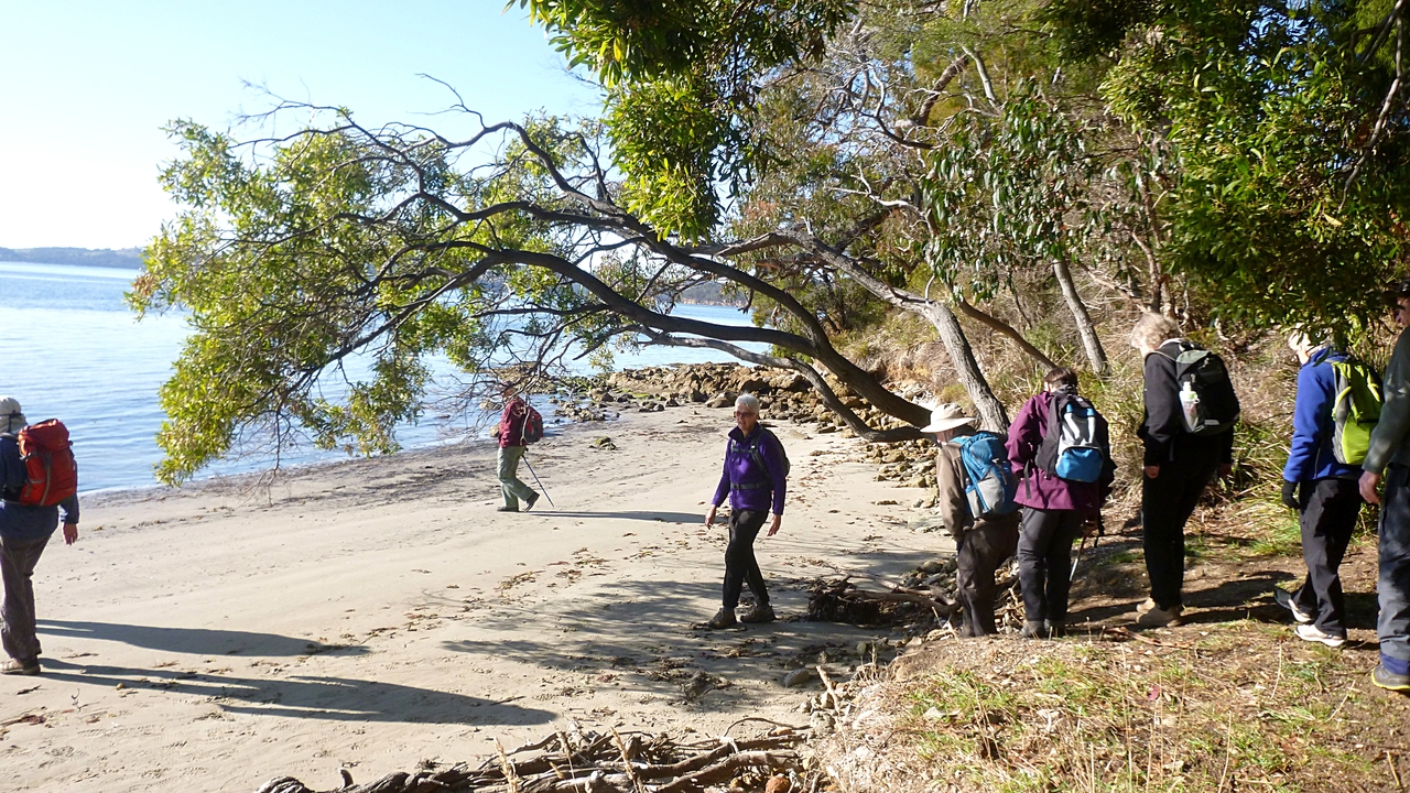
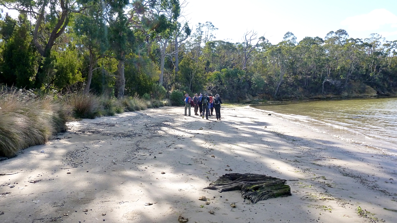
| South end of Snug Beach |
 |
| Heading north. Wellington in the distance with a few spots of snow still evident |
 |
| The track runs parallel to the river and behind houses |
 |
| It's more attractive now |
We cross the Channel Hwy and continue along between the river and Snug Primary School - which is in the process of getting a new fence.
We cross the bridge over the river and continue along. I remember being a bit put out when I first saw this bridge. Woodbridge had been given a wooden bridge (imported from the mainland, no less) which someone subsequently set fire to. We now have a metal one.
We keep walking up river to our first climb, which goes up then down after a short distance.
 |
| A couple of our fitter members shift this large log |
 |
| Just kidding. It's a slippery climb down to the river |
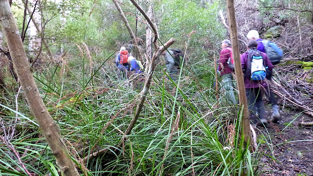
There are several large fallen trees that weren't here last time, and we lose the track for a few moments.
 |
| Where's it gone? |
 |
| Bob found it! |
 |
| The river becomes rocky at this point |
We continue along the track to see how far it goes, but turn back when it stops in the bush. It's a ways up river to Snug Falls, I wonder if a track will be possible in the future?
When we turn back I, who was at the rear, now become the leader! I get a sense of power, when soon evaporates when I realize no one is following. Now I see Bob's problem. It's like herding cats.
 |
| We're about to turn around |
 |
| I lead the group to a rock shelf on the river to discover... |
 |
| ...they went somewhere else! |
 |
| Addie enjoys the view |
We join up again and I resume my rightful place at the rear as we turnoff the main track and climb up hill on the remains of another.
 |
| We climb up here until we reach an open place near a dam for Morning Tea |
Tea finished, Bob has found another track on the other side of the dam and we begin to explore. Up hill at first, then along. Probably used at one time during bushfires to reach the dam.
 |
| Around the dam... |
 |
| ...and up |
 |
| Looking back as we traverse the hill |
 |
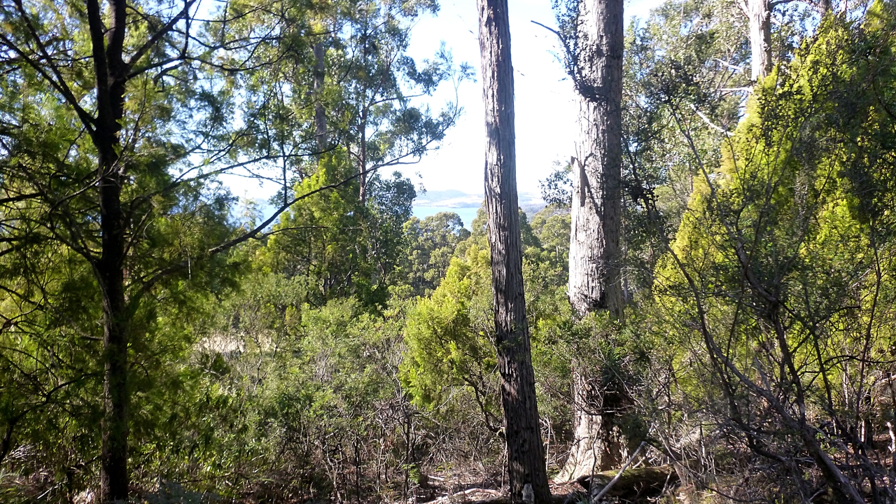
| A glimpse of North West Bay through the trees |
We finally come to a fence around a cleared property. Luckily, it's not too well made and we step over with no problem to continue on.
 |
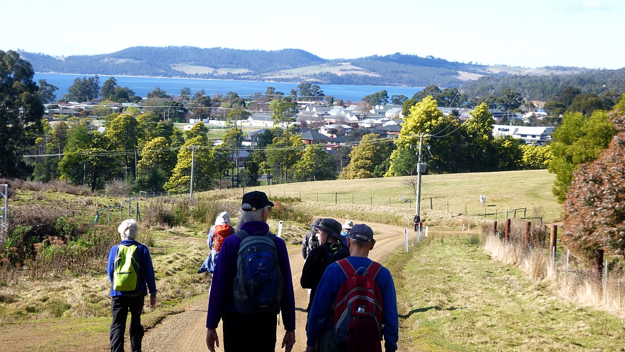
| Better view of the bay. The land is covered by a large amount of Spanish Heath. Good thing Sally's not with us! |
We walk along the top of the block and come to a secured but not locked gate, which lets us onto Jarvis Road. Turning right, we walk down towards Snug.
 |
| Bob tries desperately to shut the gate before I get there |
 |
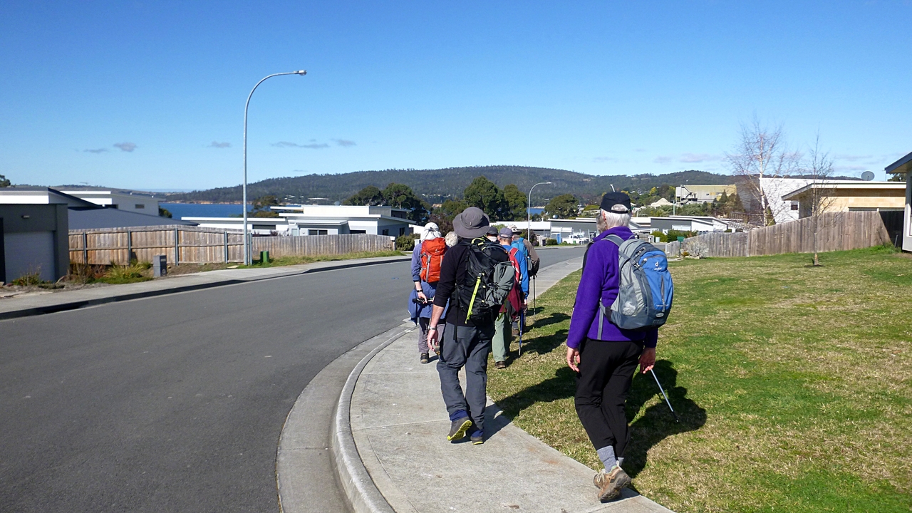
| Walking down Jarvis Rd. |
We get back to the Channel Hwy and cross over just north of our original crossing. Now we continue north up the remnants of the old Channel Hwy. Hard to believe I used to drive this every day to and from work in Hobart.
It loops back to the 'new' highway and we walk towards the new housing. This was where many of the workers at the original Carbide works lived. It's all different now.
 |
| Old section of the Channel Highway |
 |
| This used to be wooden houses for the Carbide plant workers. Now it likes to be known as Peggys Beach. It's still Electrona on the map and will remain that to me |
 |
| That's where we're headed |
We reach the beach and turn north.
 |
| Looking over Snug Bay towards Coningham |
 |
| Peggys Beach |
We walk to the end of the beach and up a rough track to Peggys Beach Track which continues around the coast. A local group looks after the track and has installed seating, rubbish bins and picnic tables along it.
 |
| Not too far along the track from Peggys Beach |
 |
| I imagine a rubbish bin will go on the post on the left. What I'm not sure about is the message on the tree. "Make My Day". No sign of Clint Eastwood |
Ron and I stop to look and ponder this installation. When we looked up, the rest of the group had vanished, which gave Ron an idea of what I experience when taking photos.
Now, we're looking for a lunch spot and I know we'll come to a picnic area with a couple of tables and seats in a short while. Which we do. I decide to go down on the little beach and have lunch there in the sun
 |
| My private lunch beach |
 |
| View north |
 |
| The rest of the group took the tables |
I had the better view and more interesting surroundings. Don't take that the wrong way!
Lunch finished, we continue on the track past, what appears to be, Peggys Beach millionaires row. They have a view of a little bay with a couple of swans and very little beach. Their large windows are filled with the North West Bay Marina and slipway with it's crane and industrial paraphernalia. Not exactly pretty.
 |
| Large, expensive houses |
 |
| Black swans |
We find our way back through the housing development, and walk up the hill behind the old plant. Bob has spotted a track, of sorts, and decides to follow it.
Where it goes, who knows? But as Ron said of the others behind us, "Doesn't matter. They'll keep following us."
And we did.
 |
| There's a lot of these on this hill and they're so healthy they must be introduced |
 |
| Just keep walking, they'll follow |
The track looped around passing other obviously introduced weeds until we come to rear of the old Carbide/Silicon plant. There are now several business along here now, and a process of reclaiming land is going on in the large area in front of us.
We walk to the coast, where Bob turns off the main trail onto a smaller track. Unfortunately, despite all our calling out, the main group continues on the wrong trail, thus losing ANY credit for this part of the walk! Bob, Ron and I continue around the coast.
 |
| Bob turning off the main trail |
 |
| Bob, Ron and I had better views |
 |
| We catch the others just ahead and inform them of their transgression! |
|
|
We reach the little bridge over the Snug River mouth and turn left, back to the cars. The tide's in and the river looks better now.
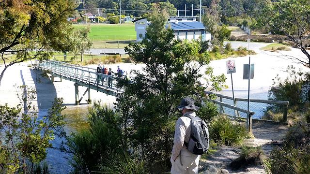 |
| Over the bridge, Snug Oval just ahead |
 |
| Back to Snug Beach |
 |
| River mouth |
We had 10 walkers and covered 9.56km in 3:30hrs. A good walk in incredible weather and over some new territory.
Click here to download GPX file