Today I'm taking the group on a walk around Tolmans Hill. We'll be following a walk that Sally took us on back in 2014, and only brushes the edge of Chimney Pot Hill. On that day we got to a point where it began to rain lightly and made the decision to take a shorter route back to the cars. It, of course, stopped raining after we'd gone a short way.
Today I hope to take the other path and see where it leads us.
Instead of parking through the old quarry (private property) I take us up the hill as I've found an entrance to the reserve near the top, running between houses.
The cars are parked in Hillcrest Road near some new builds and vacant lots.
 |
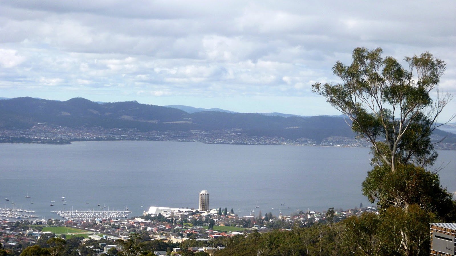
| Bob & Ron admiring the view |
 |
| The River Derwent, The Royal Yacht Club of Tasmania and the Wrest Point Casino |
I inform the group that I've been taking note of how Bob leads his walks, so we set off in the opposite direction of the start, heading up Woodland Place to the entrance.
It's a nice little climb at the start before levelling out and going down after a short while. We're following this fire trail for the first part of the walk, down to Ridgeway Reservoir.
We cross here and I look for the track on the other side of Ridgeway Road. After a false start, Bob points out the track I should be on. Down we go, heading to Sixpence Cave.
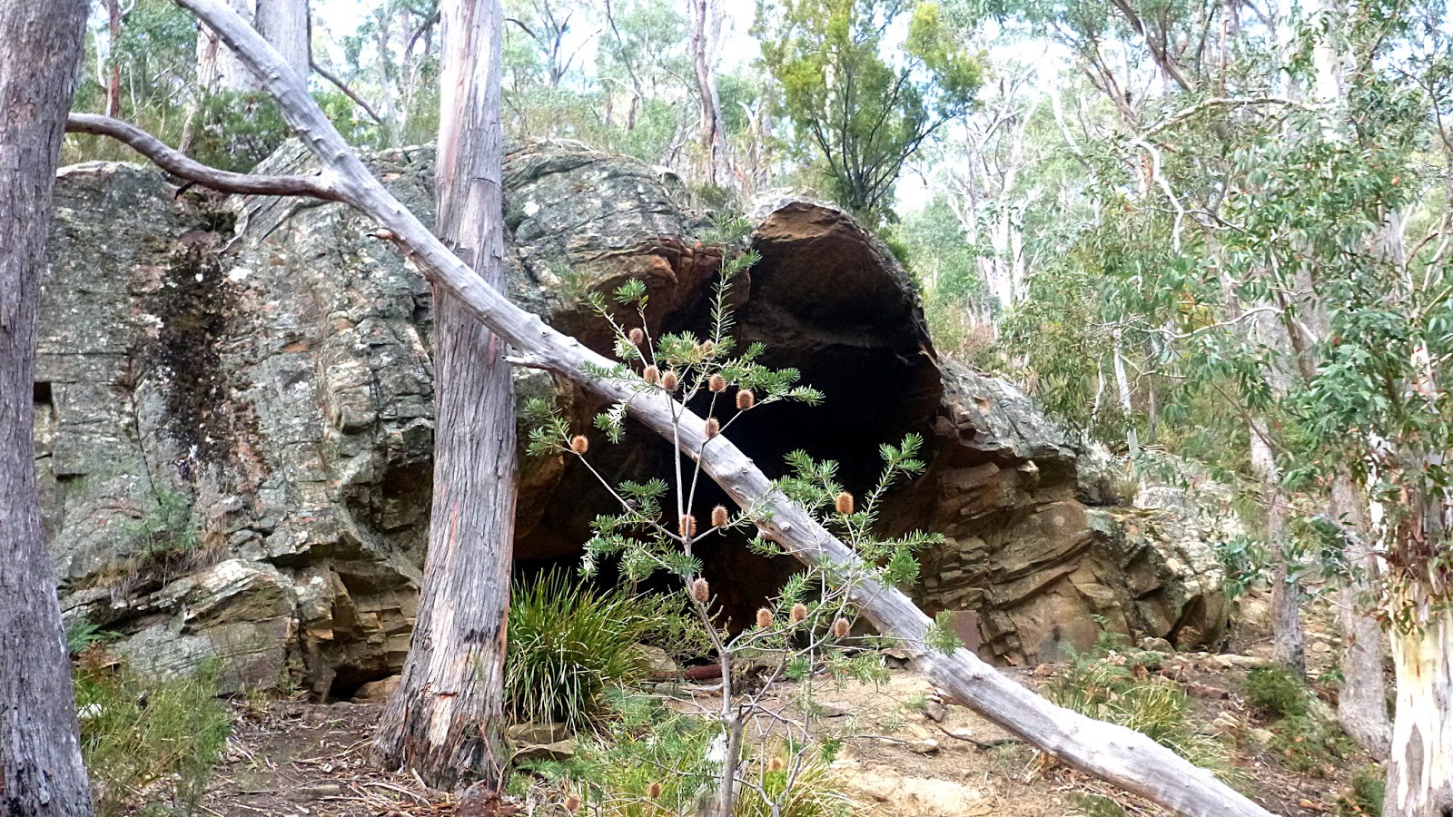
 |
| Not our cave, but one further up in the bush |
 |
| Sixpence Cave |
It's bigger than it looks and I have published photos of it in the past. This time, Bob finds a track that takes us up and over the cave which I've not done before.
 |
| Up and over Sixpence Cave |
 |
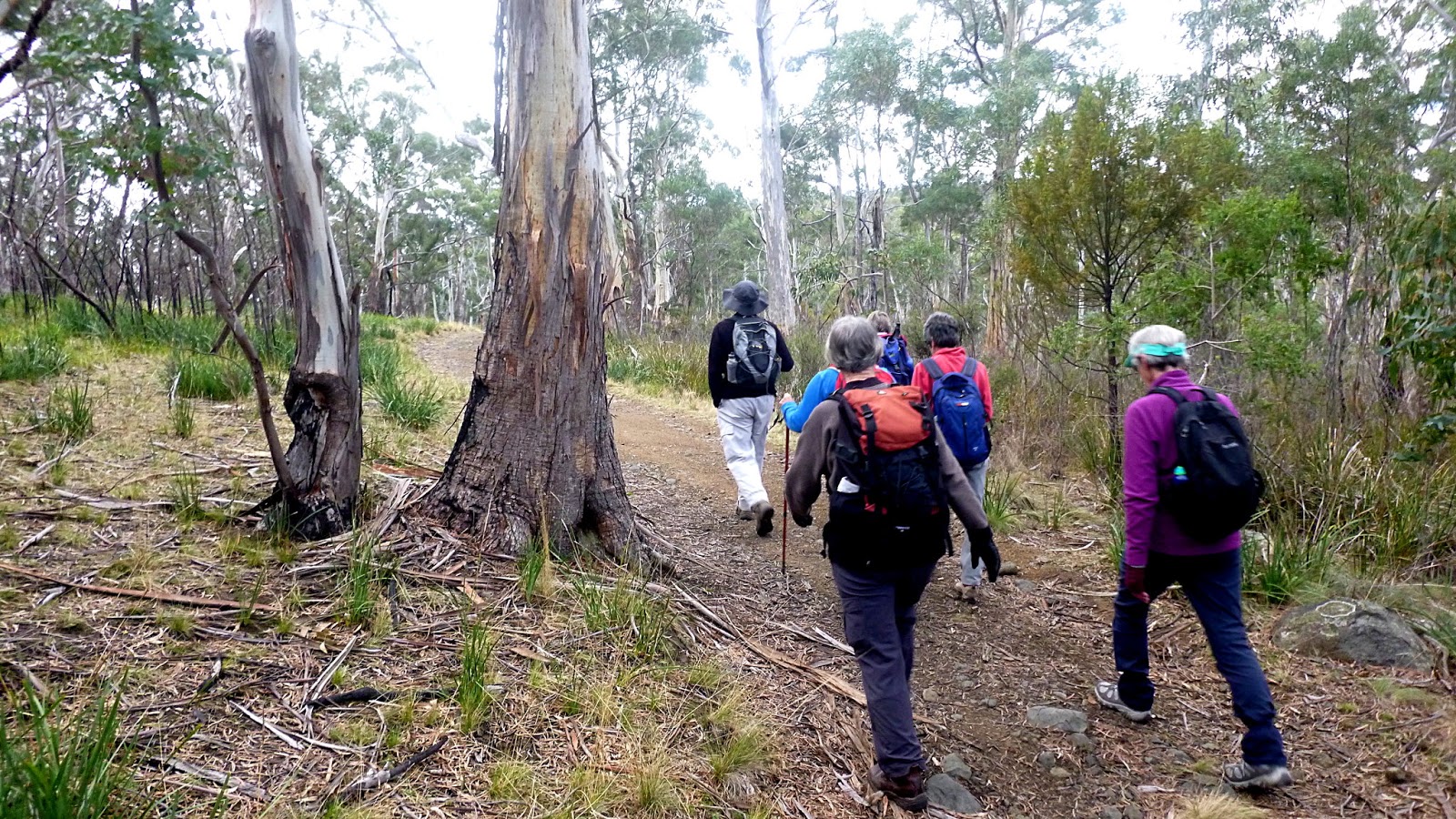
| Not all of today's walking will be on easy tracks |
We make our way back to two large tanks we had passed earlier to continue down to the Waterworks Reserve for Morning Tea.
 |
| Heading down |
 |
| We turn off to the left just around the corner |
 |
| A bush track takes us past some old ruins as we continue down |
Soon we arrive at the upper reservoir of the Waterworks Reserve, reaching the civilized area I've chosen for our break.
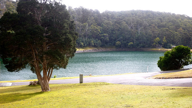 |
| The Upper Reservoir |
 |
| Mt. Wellington obscured by low cloud |
 |
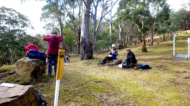
| Morning Tea |
 |
| You can just see the Organ Pipes of Mt. Wellington |
 |
| The white is a little bit of snow |
 |
| The old receiving house, now an interpretative centre |
Break finished, we head to the top of the reservoir to pick up the track leading up to Gentle Annie Falls.
 |
| The Pipeline Track near the bottom |
 |
| Rock formations loom over us as we climb |
 |
| Hand cut by convicts, the slot used to carry the water down... |
 |
| ...now a pipe bypasses it |
 |
| What it looked like in it's hay day |
We continue climbing up the steps the convicts cut out of the solid rock, until we begin to hear children's voices above us.
There are a large number of children on a school outing beginning to make their way down towards us. This is going to take a while, so Bob takes us on a diversion that will lead us around the top of the falls and rejoin the track much further on.
 |
| Bypassing Gentle Annie Falls and leading to McDermotts Saddle and the Pipeline Track again |
We're getting near the Pipeline Track at McDermotts Saddle, coming across a couple of council workers spraying introduced species to try to eradicate them. Good luck with that. As we pass them, we can again hear the sounds of hundreds of children. Another, slightly older school group is running around the old farm site.
We have to use stick and elbow to clear our way off the Pipeline Track onto another that leads us up and back to the Ridgeway Reservoir where we have lunch.
 |
| Back at Ridgeway Reservoir for lunch |
The car appears to belong to a mountain biker who is off somewhere on one of the tracks.
 |
| Lunch with a comfortable choice of rock or grass |
After lunch, I offer a choice of following our original route in or taking a new track I've not been on before. The new was chosen and off we go.
It's a steep decent into a gully with a couple of fallen trees to cross. Not too slippery.
 |
| The new track, looking down into the gully and the climb in the distance |
 |
| After making our way down and up again, we find we have to do it all over again |
 |
| It's unfortunate you can't make out the faces beaming with joy at having to do another steep descent and climb |
I'm looking for a turn off to the left that will take us back to our original route in. I've only seen this on an aerial photo, so Bob and I keep our eyes open. Turns out you'd have to be blind to miss it, so off we go.
I had been expecting a long steep climb, but it's not too bad at all.
 |
| Onto the new track. Even Bob hadn't been on this one! |
We return to our original track in to make one last climb. We now have a gentle downhill section. I had seen a couple of tracks on photos that lead from this path to the end of the road our cars are parked on.
In the end that doesn't matter as we can see the street and I take us through the bush which is subdivided for future development and bring us out just above the cars leaving a gentle walk down.
 |
| Coming down to Hillcrest Road |
 |
| View over Hobart with the Tasman Bridge in the distance |
 |
| Tasman Bridge and our cars down on the left |
I enjoyed the walk, but there were some mumblings and I did hear a comment just after we crested the last hill that I "should throw away any notes I took from Bob!"
I'll take it on board, maybe.
For some reason my GPS unit didn't record elevation readings, but Google Maps has worked them out, hence the different display for the usual report. Our total climb is 501 metres so we can add 5km to the total distance.
We had 15 walkers and covered 9.19km in 3:55hrs
Click here to download GPX file