Today we're walking from Cornelian Bay up and around the Domain. The weather forecast isn't brilliant, but we'll take our chances.
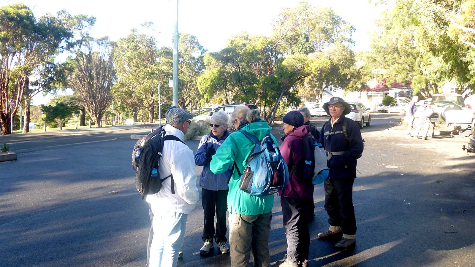
We park at Cornelian Bay, find Gerard and head towards the bridge.
 |
| Organized and ready to go... |
 |
| ...and the weather looks good |
 |
| Walking along the River Derwent |
 |
| Selfs Point with Macquarie Wharf behind |
The track leads us across the railway lines onto the bike track which ends at a point opposite the Domain.
 |
| HMAS Huon |
Former Naval Base, closed in 1994. I don't know what it's used for now.
We cross the road without getting run over and enter the Domain.
We head up past the Aquatic Centre and right into trees and scrub.
 |
| Soon, we bear right into the trees |
All by itself, is a concrete cricket pitch. I remember seeing it before and I still don't have any information about it. Who built it and why remains a mystery. I remember there was an exhibition building constructed around here back in the late 1800's and thought it might have had something to do with that.
 |
| Old Cricket Pitch |
On further investigation, I think not. I found some old photos of the Hobart International Exhibition of 1894-5 and it looks like it was built where the War Memorial is now.
 |
| Taken from Knocklofty at the time, the large white construction in the centre is the Exhibition |
 |
| The main hall |
|
|
I wonder when it was knocked down and why?
The Photo below was take from the top of the building above, showing, what I assume to be, Davies Ave which heads up past the Aquatic Centre.
 |
| If you look carefully on the left of centre is a monument |
This is still standing outside of the Aquatic Centre car park, just up from the Boar War soldier. Notice how neat it appears and the cab rank at the bottom.
We continue on, coming onto The Soldiers Walk, lined with plaques dedicated to the fallen from WWI. Originally planted with memorial trees, I can remember walking up here years ago and a couple still had their brass plates attached with chains around the trunks.
 |
| The Soldiers Walk in the beginning |
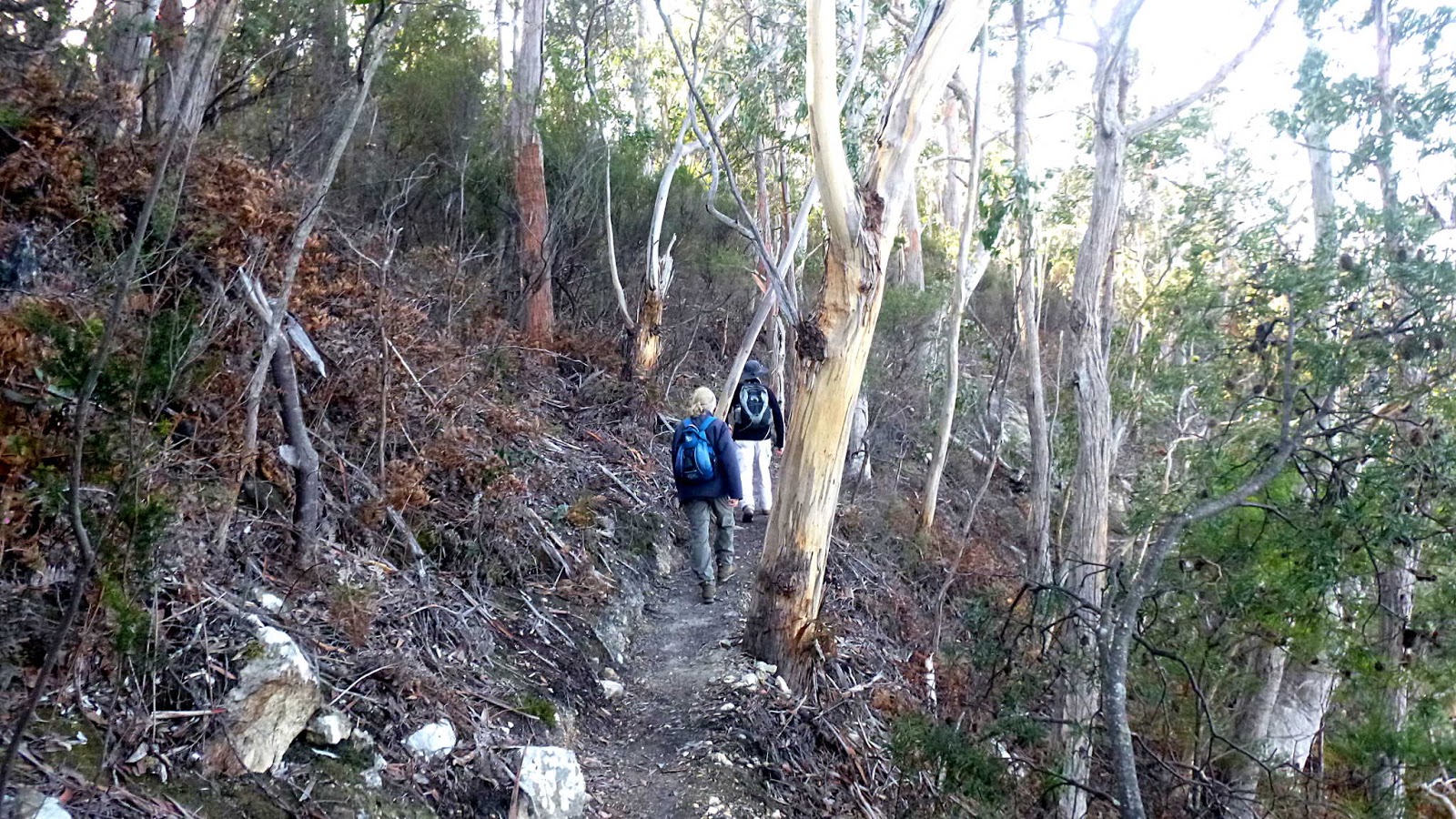
On we go, heading up to the Domain Athletic Centre for Morning Tea in the stand. In the meantime, we follow faint tracks up, down and sideways.
 |
| We could almost be in the bush |
It's not long before we reach the Domain Athletic Centre and our break.
 |
| Domain Athletic Centre, Morning Tea and a view |
 |
| A beggar. You've got Buckley's hope, mate! |
Tea finished, we head out past more construction near the 5 way junction, and pick up a new bike track heading up and around the Upper Domain.
 |
| New track |
 |
| Mt. Wellington without cable car |
On the northern side, they are cutting back she-oaks and other trees to restore grassy woodland. The domain was used for grazing and timber cutting back in early times, but I wonder if it really had grassy woodland before settlement.
 |
| The trees to the left appear to be staying |
Enough of this clear walking! Lets get off track.
There is a faint track here, skirting around fallen trees before coming out just short of the old Powder Magazine.
 |
| Gunpowder Magazine |
 |
| That wasn't here when we last walked past, I wonder what the story is? |
Now, we weave in and out of trees and old tracks, heading towards the Royal Botanical Gardens for lunch.
We enter, along with a number of tourists who just arrived and walk towards the shelter where we usually stop. Unfortunately, due to the severe storm that caused much flooding in Hobart just days before, some of the paths in the gardens are closed while clear up takes place. Instead, we head towards the river and look for another spot.
 |
| Main gate |
 |
| River Derwent in the distance |
 |
| We soon have to turn off as it's blocked |
 |
| Prince Edward was here to open the new observation deck over the pond |
I can't guess how impressed he must have been. Still, he managed to get a game of, what is called now, Real Tennis. It used to be called Royal Tennis when I watched a game many years ago.
 |
| This arch was installed the same year we arrived. Very thoughtful |
|
 |
| Our lunch spot |
After lunch we head towards the river to begin our journey back to the cars, following our original track. Almost.
 |
| Looks like lots of children are having fun |
 |
| The age I feel some mornings |
 |
| Original convict built wall. |
 |
| We say a fond farewell to the Royal Botanic Gardens |
 |
| The Tasman Bridge, heading to the eastern shore |
On the way back, we turn down a little track leading to a small beach and the rear of the boat houses here.
 |
| Heading for the boat houses |
 |
| Some had close calls from our recent storm event |
 |
| This appears to have had a collapse |
 |
| Outside one of the boat houses |
Inspired by Thomas the Tank Engine and Captain Pugwash.
 |
| A few locals just hanging out |
 |
| I remember when that restaurant was a public toilet |
Soon, we're back at the cars and right on schedule, drops of rain began to fall. Excellent timing by Bob. Not a difficult walk, but always an interesting one.
We had 9 walkers and covered 11.06km in 3:52hrs.
Click here to download GPX file